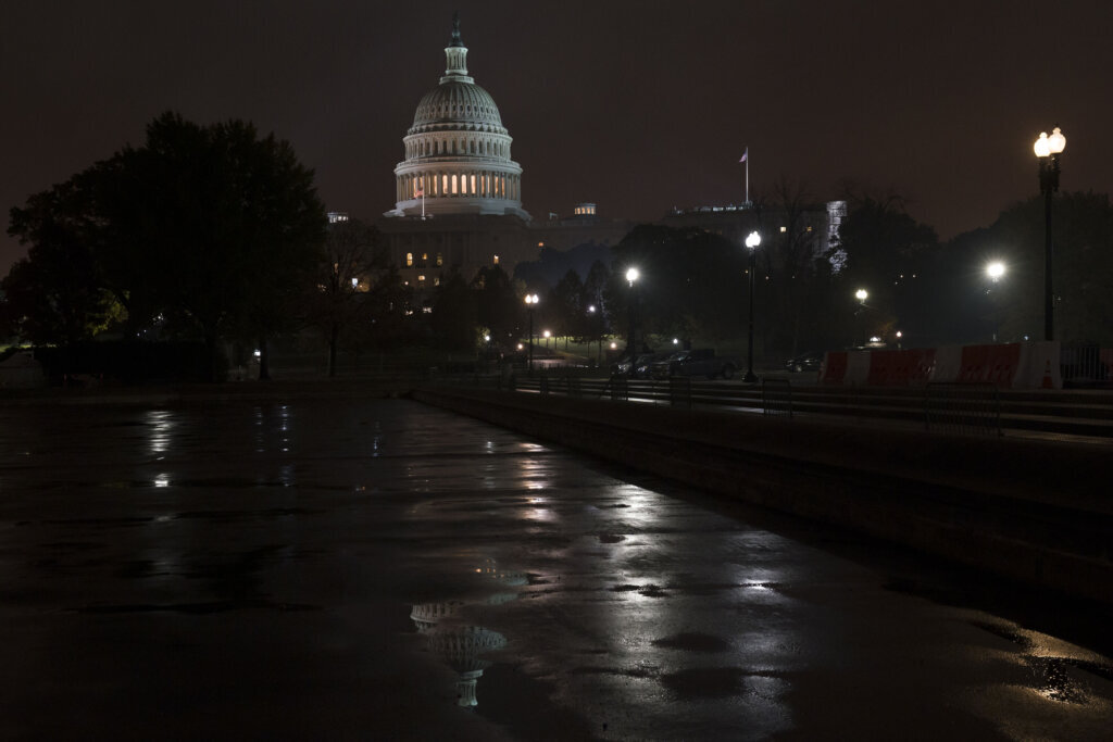
DC area’s unsettled weather keeps rain chances around Sunday
Cinco de Mayo is looking all but dry for D.C., Maryland and Virginia. Here’s what you need to know if you’re planning to spend your Sunday celebrating outdoors.
If you’re looking for good news, the day head is looking cloudy with highs anywhere from the upper 60s to the middle 70s, according to 7News First Alert Meteorologist Mark Peña. A break in the cooler temperatures Saturday evening.
The bad news: National Weather Service forecasters expect the day to start with rain and areas of drizzle before showers and thunderstorms enter the evening and overnight forecast.
“Rain is likely, and it may become heavy at times, along with a few rumbles of thunder,” Peña said.
D.C. area drivers can expect some of the showers and potential thunderstorms to shake up their drive as the wet weather brings up to half an inch of rain into the local forecast.
Steady temps in the 50s & periods of light rain/drizzle continue through the overnight period. More substantial rain & even a few rumbles of thunder look to arrive Sunday morning into midday as a warm front lifts through. High temps push into the 60s Sunday PM. #MDwx #VAwx #WVwx pic.twitter.com/DU23LiwrPC
— NWS Baltimore-Washington (@NWS_BaltWash) May 5, 2024
Anyone looking to grab Cinco de Mayo food and drinks around the D.C. area should be prepared for a rainy evening celebration, especially if the evening ends with a free Lyft ride home.
- Listen to WTOP online and on the radio at 103.5 FM or 107.7 FM.
- Current traffic conditions
- Weather forecast
- Closings and Delays
- Sign up for WTOP alerts
“We have a rather active weather week ahead with daily rain chances — each particular day has its own share of showers and storms in the forecast, particularly in the afternoon,” Peña said.
7News First Alert Meteorologist Jordan Evans forecasted a lower risk for severe weather Monday despite the lingering clouds, though showers and thunderstorms could appear later that day.
Outages:
Current weather:
Forecast:
BEFORE DAYBREAK SUNDAY:
Rain continues
Lows: 50-59
Winds: East 10-15 mph
More rain is expected overnight into Sunday morning. Heavy rain and thunder are not expected.
SUNDAY:
Rain, thunder possible
Highs: 70-76
Winds: Southeast 5-10 mph
It will be another overcast day, but high temperatures should reach the upper 60s and lower to middle 70s. Rain is likely and it may become heavy at times along with a few rumbles of thunder.
MONDAY:
Overcast, evening storms
Highs: 77-83
Winds: Southwest 5-10 mph
Clouds stick around with the chance for more showers and thunderstorms later in the day. The risk for severe weather is very low.
TUESDAY:
Passing clouds, few evening storms
Highs: 80-86
Winds: Southwest 5-10 mph
The added heat and humidity may bring a few storms, some strong, to the area. The risk for severe weather is low, but changes are expected with new data over the coming days.
WEDNESDAY:
Partly cloudy, chance for storms
Highs: 80s
Winds: Southwest 5-15 mph
Likely the driest day of the week, but an isolated shower or storm still possible in the afternoon.