 |
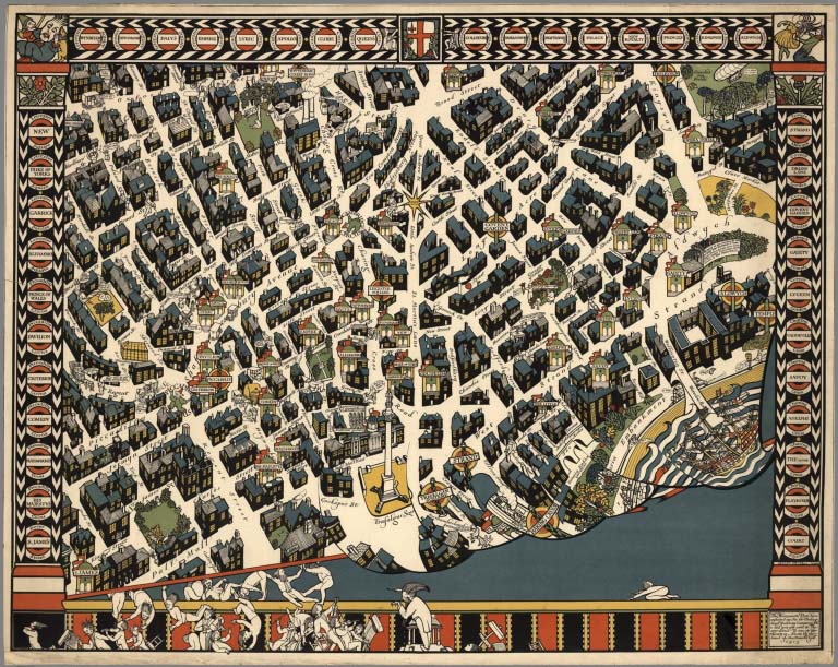
Pictorial Maps by MacDonald Gill, 1915 to 1947
Gill, Leslie MacDonald, Various Places
MacDonald Gill was an important British artist who created many kinds of illustrations, as well as maps. His 1915 London Underground map is considered one of the most important 20th century pictorial maps which established a distinctive pictorial style. His schematic pocket maps for the London underground are also important as precursors of Harry Beck's fully developed diagrammatic London underground maps starting in 1933. View Maps
|
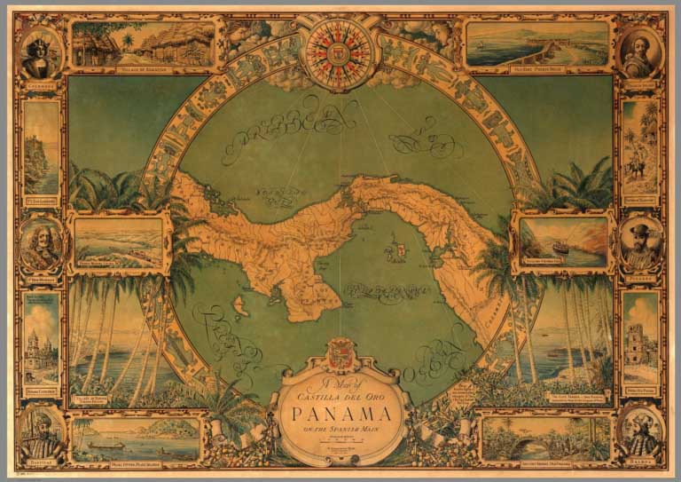 |
Pictorial Maps by B. Ashburton Tripp, 1925 to 1954
Tripp, B. Ashburton, Cleveland, Ohio, and Alexandria, Virginia
Ashburton Tripp, 1887-1955, was a landscape architect who also made and self published pictorial maps of Cape Cod, Massachusetts and Martha's Vineyard, Massachusetts. He drew but never published a map of Panama. In addition, he drew several maps of his landscape commissions, as well as other maps for clients. While his output was relatively small, the quality of his work is extraordinary. We were able to acquire a large group of his manuscript and published maps from his family. View Maps
|
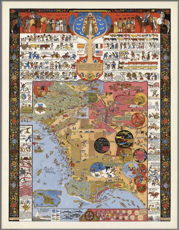 |
Jo Mora Pictorial Maps, 1926 to 2007
Mora, Jo, Various Places
Jo Mora, 1876 - 1947, was a successful artist who created a large group of pictorial maps of varying places and subjects. Mora's work is outstanding for its artistic values and humor. For more information on his life and work, see the Jo Mora Trust.
View Maps
|
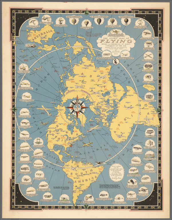 |
Pictorial Maps by Ernest Dudley Chase, 1931 to 1965
Chase, Ernest Dudley, Various Places
Ernest Dudley Chase produced a large group of pictorial maps over a thirty year period. Included are maps of the world, countries, cities, towns, thematic maps, and stamp maps. His meticulous drawing style of the pictorial elements is impressive. Chase also produced a large number of greeting cards, one of which is included here, along with a catalog of his maps issued by him in 1940.
View Maps
|
 |
Picture Map Geography of the United States, 1931 (with) Picture Map Geography of South America, 1941
Johst, Paul Spener; Quinn, Vernon, New York
Two atlases with pictorial maps by Paul Spener Johst. The United States atlas has state-by-state geography with a blue and black colored, full-page map for each. Maps show crops, products, activities, landmarks, modes of transportation, etc. Includes Alaska and Hawaii. The South America atlas has maps of each country. Vernon Quinn wrote the text for both books.
View Atlases
|
 |
Atlas and Maps by Ruth Taylor White, 1929 - 1941
White, Ruth Taylor, Various Places
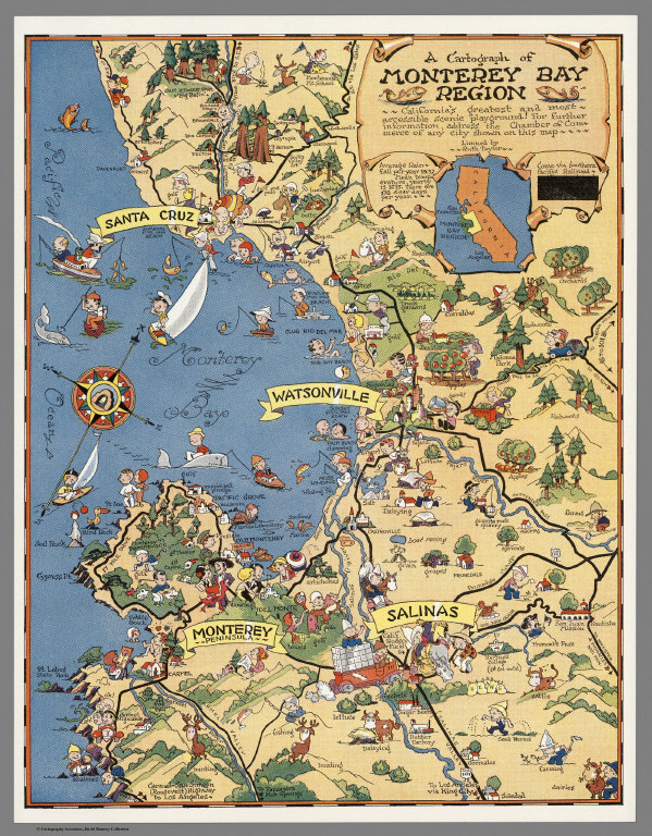
Ruth Taylor White produced the atlas "Our U.S.A. A Gay Geography" in 1935, an entertaining fanciful pictorial or cartoon atlas of the United States which includes a full color map and a page of historical and geographical text on each of the 48 states plus the Territories of Alaska, Hawaii, American Samoa and the Commonwealth of the Philippines, plus a map of the Caribbean showing Puerto Rico, the Virgin Islands and the Panama Canal Zone as well as the rest of the Antilles. Numerous small drawings on the map of each state depict sights, people, activities, crops, animals, relief, populated places,etc. A product of the 1930s, it depicts stereotypical images of people, such as on the Tennessee map there is a Ku Klux Klan (KKK) member in white hood and robe with a pistol and a bucket of tar, and a black person dragging a sack of cotton. In addition to these sometimes offensive images, the maps also reflect the times in terms of what was important or noteworthy about each area of each state, be it growing corn, raising mules, crabbing, racing horses, making movies, sailing, Native Americans, national parks, quilting, romance, volcanoes, whales, rain, gold, or big trees. Ruth Taylor White was educated at the Pratt Institute of Art and the Art Students League. View Maps
|
 |
Berta and Elmer Hader's Picture Book of the States, 1932
Hader, Berta Hoerner; Hader, Elmer Stanley, New York
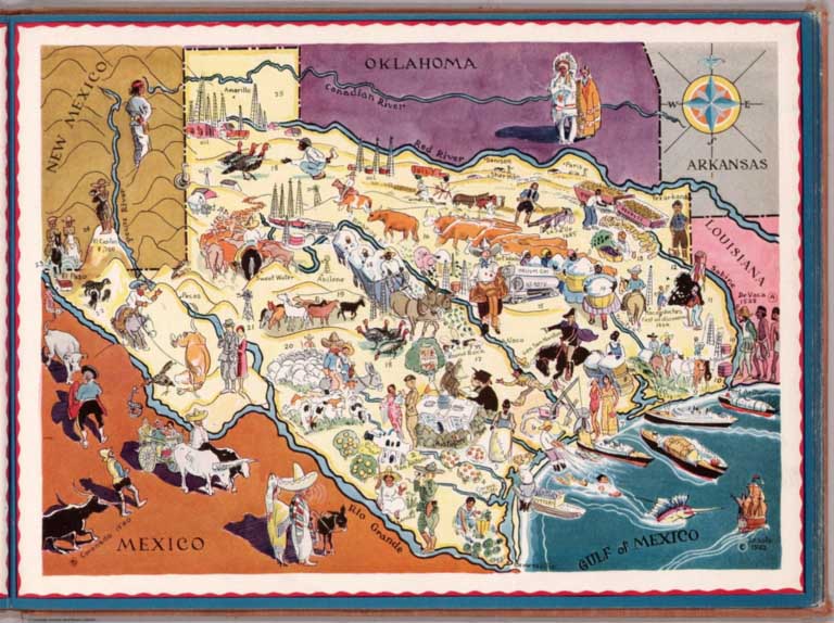
Responsible for illustrating and writing dozens of children's books, Berta and Elmer Hader also did book covers for John Steinbeck and worked for several prominent magazines in addition to creating this delightful book of pictorial maps.
View Atlas
|
 |
Pictorial Maps by Lucien Boucher, 1934 to 1962
Boucher, Lucien, Paris
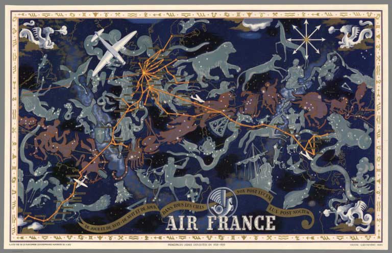
Lucien Boucher made a large group of maps for Air France which show the growth of the air routes over three decades, as well as maps for other sponsors including his outstanding map for the Red Cross in 1962. His distinctive style and artistic values are noteworthy.
View Maps
|
 |
Gerald A. Eddy Pictorial Maps, 1933 to 1965
Eddy, Gerald A., Various Places
Gerald Eddy produced a wide variety of pictorial maps, largely of western U.S. areas, including Death Valley, Lake Tahoe, Boulder Dam, and Los Angeles.
View Maps
|
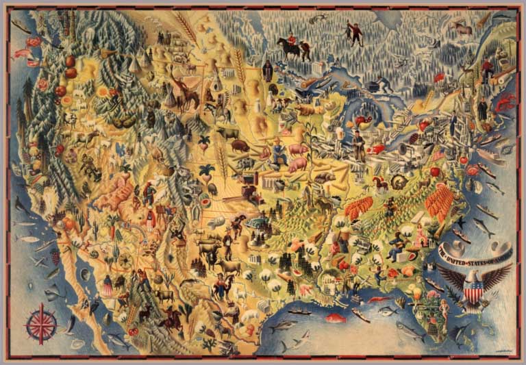 |
Pictorial Maps by Miguel Covarrubias, 1940 to 1942
Covarrubias, Miguel, Various Places
Covarrubias produced pictorial maps in a painterly style. His Pagent of the Pacific series of six maps is especially noteworthy - they are six mural-maps that he painted for Pacific House, the theme building of the Golden Gate International Exposition in San Francisco in 1939. José Miguel Covarrubias Duclaud (his full name) was a Mexican painter and caricaturist, theater set designer, ethnologist and art historian very well known in the United States as well as in Mexico. He also made the manuscript Tree of Modern Art visualization with Ashburton Tripp. View Maps
|
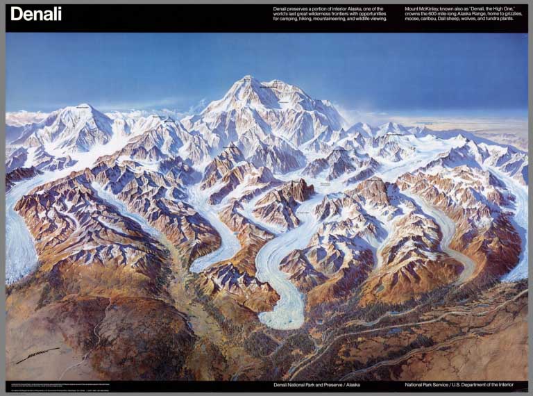 |
Pictorial Maps by Heinrich Berann, 1936 to 1995
Berann, Heinrich, Various Places
Heinrich Berann was prolific in the production of panoramic, birds-eye mountain views of locations in Europe and the United States, as well as sea floor drawings for National Geographic.
View Maps
|
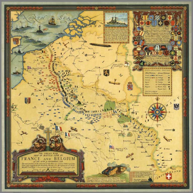 |
Ernest Clegg Pictorial Maps, 1926 to 1947
Clegg, Ernest, Various Places
Ernest Clegg made pictorial maps in a distinctive style that used many elements of Renaissance cartography - in the typography, the compass roses, the borders, and the decorative cartouches.
View Maps
|
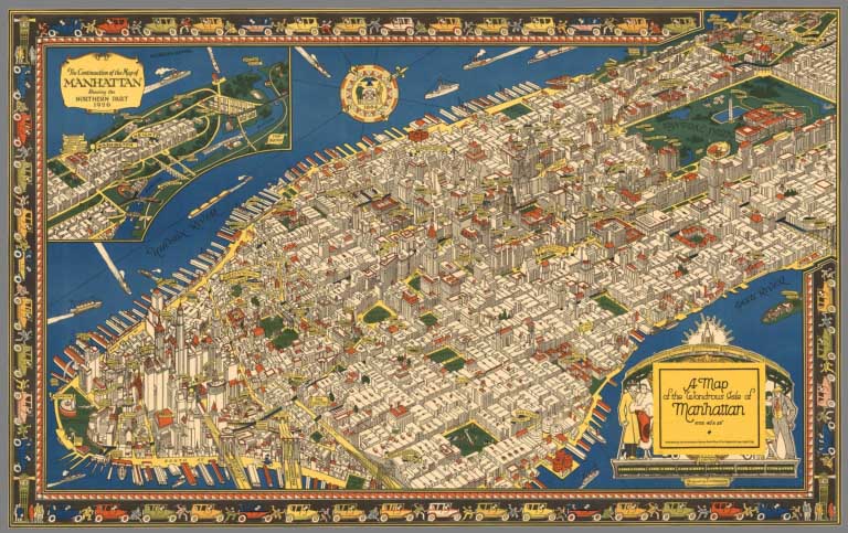 |
Pictorial map of Manhattan by C.V. Farrow, 1926
Farrow, Charles Vernon, New York
Farrow's map of Manhattan is full of interesting details well rendered, all of which contribute to an outstanding design and makes this map one of the best pictorial maps of the 1920's in the United States. This appears to be the only major map that Farrow designed. He died young, at age 40. The title cartouche is covered by the printed label (as issued) which also appears on the map envelope (not present with this copy).
View Map
|
 |
Pictorial Maps by Karl Smith, 1933 to 1959
Smith, Karl, Various Places
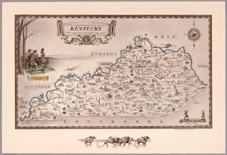
Karl Smith's maps are noteworthy for his incorporation of historical themes and strong graphic designs and vignettes. In addition to maps of the states, he made historical maps of the lives of Abraham Lincoln, Robert E. Lee, and Jefferson Davis.
View Maps
|
 |
Edwin Olsen and Blake Clark Pictorial Maps, 1926
Olsen, Edwin; Clark, Blake, Boston
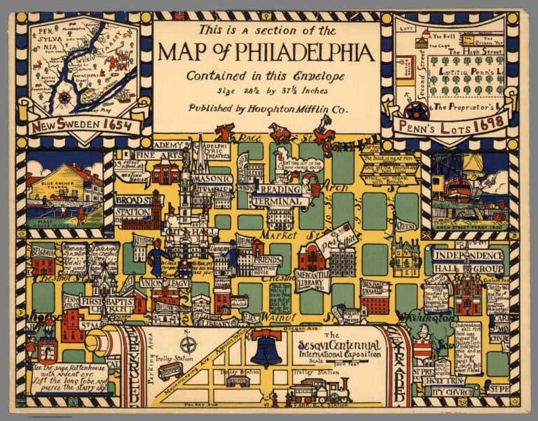
Olsen and Clark made a series of city maps that showed the influence of MacDonald Gill, while still maintaining their own unique style. Represented here are Boston, Philadelphia, and Washington, D.C.
View Maps
|
 |
Pictorial Maps by Stanley Turner and C.C. Petersen, 1942 to 1969
Turner, Stanley; Petersen, C.C., Toronto
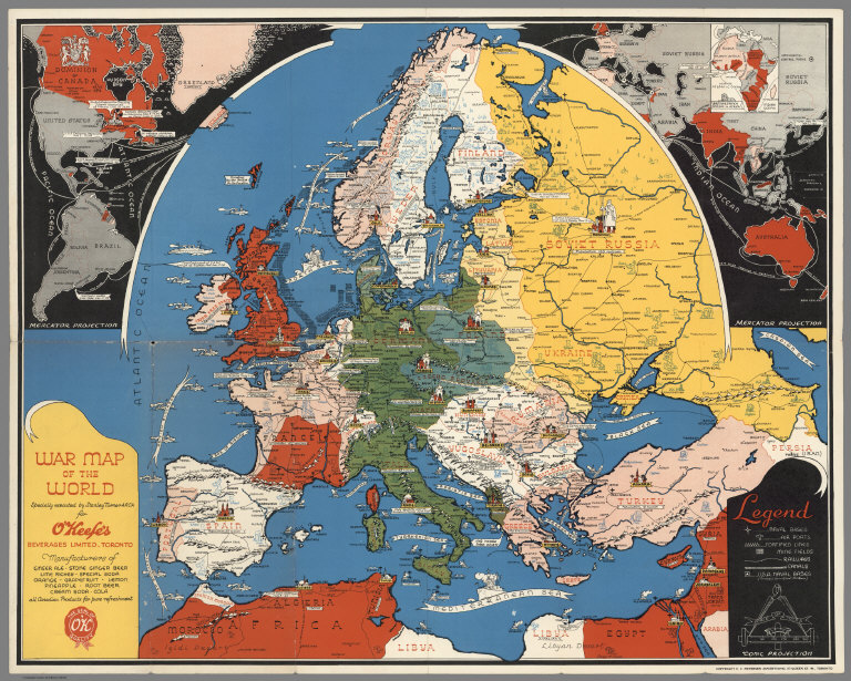
Stanley Turner and C.C. Petersen produced a large number of "Dated Events" war maps during World War II. They employ a wide variety of projections and pictorial styles, allowing their readers to follow the important events of the war on the maps.
View Maps
|
 |
Pictorial Maps by Harrison Godwin, 1927 and 1928
Godwin, Harrison, Los Angeles and San Francisco
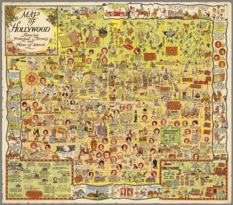
Godwin's maps are profusely illustrated with characters depicting history, humor, and social commentary. His style is similar to Jo Mora but differs from Mora in the overall map designs.
View Maps
|
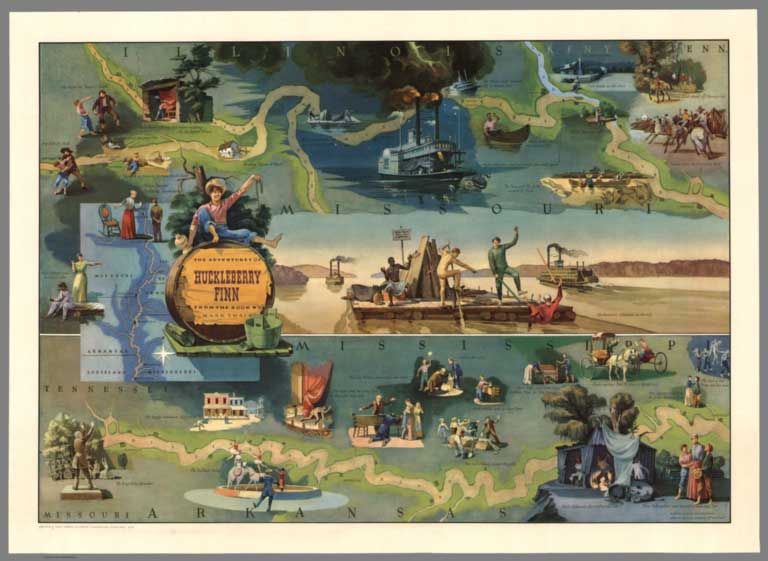 |
Pictorial Maps by Everett Henry, 1928 to 1981
Henry, Everett, Various Places
Everett Henry designed maps with literary themes: Moby Dick, Huckleberry Finn, Ivanhoe, Tale of Two Cities, Robin Hood, Treasure Island, and others.
View Maps
|
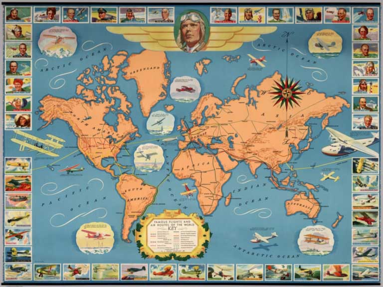 |
Famous flights and air routes of the world. Complement of H.J. Heinz Company 57, 1937
H.J. Heinz, Pittsburgh
Shows list of 25 famous flights, starting with Charles Lindbergh, shown top center. It also includes vignettes of 25 different planes and pilots from the early 1900's to 1930's. Includes routes of all the major airlines of the time - Northwest, American, United, Western Air, Eastern, Pan American, Pennsylvania, Air France, KLM, Imperial, Japan Air, Civil Air Trust, China National and Canadian Airways. Includes title carthouches, decorative compass rose and key to symbols. Relief shown by shadings.
View Map
|
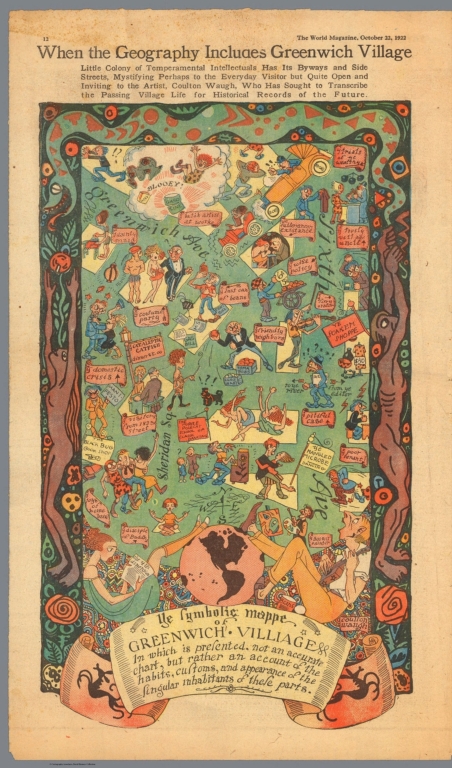 |
Pictorial Maps by Coulton Waugh, 1922 to 1930
Waugh, Coulton, Various Places
Coulton Waugh made several maps of Cape Cod, as well as maps of Long Island and Greenwich Village in New York City - all in a very distinctive style using elaborate borders and illustrations.
View Maps
|
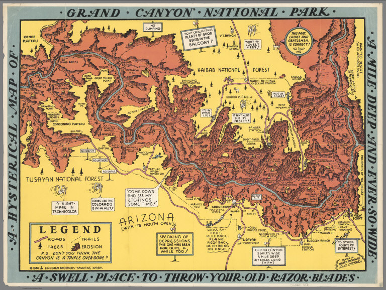 |
Pictorial Maps by Lindgren Brothers, 1936 to 1948
Lindgren Brothers, Various Places
The Lindgren Brothers produced a large number of whimsical maps that stretch the boundaries of pictorial mapping and are definitely an acquired taste, and once acquired, they become fascinating.
View Maps
|
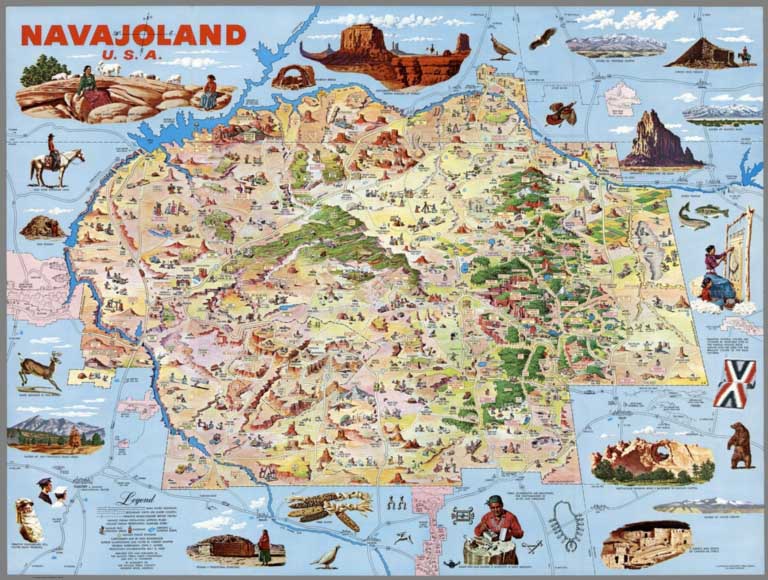 |
Pictorial Maps by Don Bloodgood, 1935 to 1968
Bloodgood, Don, Various Places
Don Bloodgood made a large variety of pictorial maps - of cities, parks, islands, and states. His pictorial style is dense with illustrations and humor. His work covers over 30 years, beginning in 1935 with his map of San Diego for the California Pacific International Exposition.
View Maps
|
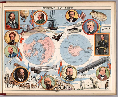 |
L'Epanouissement du Monde. (The Fulfillment of the World.) 1948
Pinchon, J.P.; Perpillou, A., Paris
Pinchon was a noted French illustrator and comics pioneer. This book is his pictorial atlas of the provinces of France, with 48 geographical and pictorial maps in color, with Pinchon's signature on on each sheet. Each geographical map is accompanied by another pictorial map with vignettes depicting major attractions, trades, or historical events associated with a particular town, city, or region. The vignettes and the more notable features of each province are also described in descriptive text.
View Atlas
|
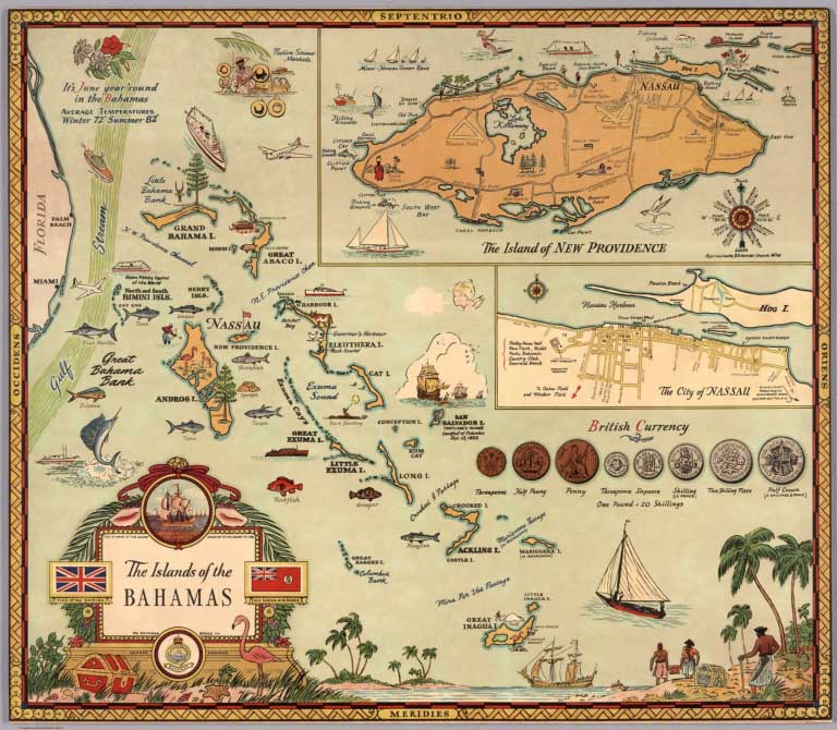 |
Pictorial Maps by George Annand, 1934 to 1951
Annand, George, Various Places
George Annand produced a variety of pictorial maps for the Boston Herald newspaper as well as General Foods, the Waldorf Astoria Hotel and the 1939 New York World's Fair.
View Maps
|
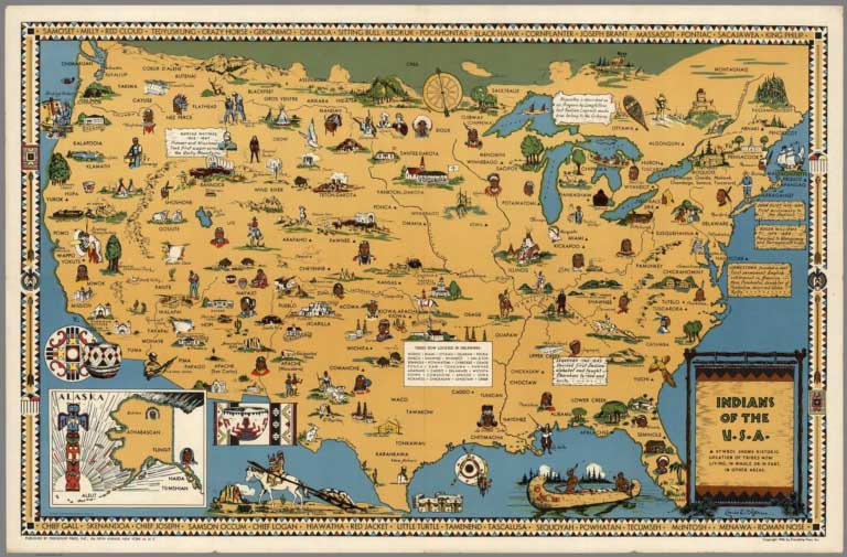 |
Pictorial Maps by Louise Jefferson, 1944 and 1945
Jefferson, Louise E., New York
Louise E. Jefferson, the daughter of a calligrapher for the United States Treasury Department, was encouraged to draw from a young age. Her father taught her his craft at home and she later studied fine and commercial art in private lessons and at Howard University. She moved to New York to continue her education at the School of Fine Arts at Hunter College. In Harlem, Jefferson came in contact with other African-American artists and in 1935 she was a founding member of the Harlem Artists Guild, a program sponsored by the Works Progress Administration. A freelance job with the National Council of Churches’ publishing operation, Friendship Press, led to a full-time position. Jefferson eventually became the press’s art director. Jefferson was perhaps the first African-American woman to hold such a position in the publishing industry. Jefferson freelanced for major publishing houses, such as Viking and Doubleday, throughout her career. She was known as a designer of both skill and artistry. View Maps
|
 |
Urban Pictorial Maps by Hermann Bollmann, 1952 to 2014
Bollmann, Hermann, Various Places
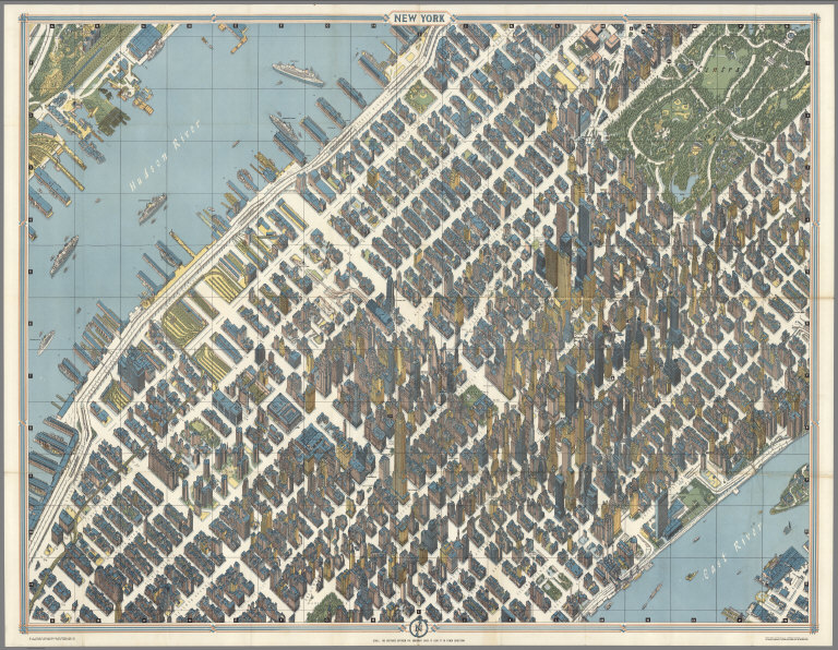
Hermann Bollmann (1911-1971) was a German cartographer who brought his training as a graphic artist to bear on the German tradition of Vogelschaukarten (bird's-eye-view maps). He drew maps of many German cities, and published them at intervals to show their reconstruction after World War II. He also drew maps of foreign cities. For his map of New York City, Bollman's staff designed and built special cameras and took over 67,000 photographs of the city, 17,000 of which were from the air. The actual drawing was done by hand and is very accurate although streets are wider and some features are exaggerated for clarity. View Maps
|
 |
Isometric Maps by Tadashi Ishihara, 1982 - 2002
Ishihara, Tadashi, Osaka
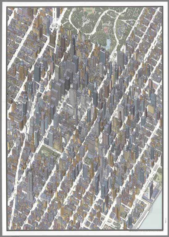
Tadashi Ishihara has made several well crafted isometric or birds-eye view maps of American and Japanese cities. Working from photographs, he achieves extraordinarily detailed 3D images of urban and non urban areas. His work is in the same genre as that of Hermann Bollmann and Constantine Anderson (see our copies of their maps). View Maps
|
 |
Maps of Manhattan, New York City, 1960 to 1985
Anderson, Constantine, New York
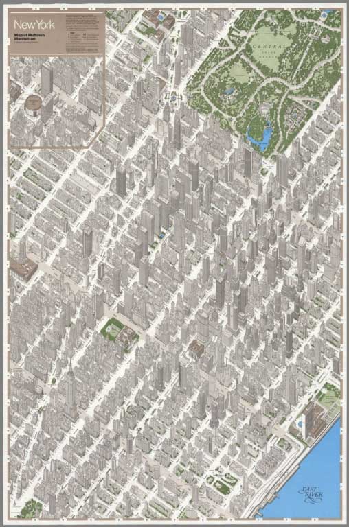
Constantine Anderson made detailed isometric maps of Manhattan Island in New York City for over 25 years, from 1960 to 1985. Primarily he focused on mid town Manhattan. He drew in the style of Herman Bollmann and was likely influenced by Bollmann's Manhattan map, although it is difficult to know which one drew their map first. Anderson sold portions of his map to real estate developers and agents to use for marketing purposes.
View Maps
|
 |
Colortext Pictorial Maps, 1935 to 1938
Colortext Publications, Various Places
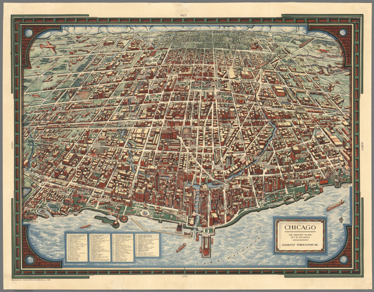
Colortext Publications created a variety of maps of countries as well as a noted map of Chicago, all in the 1930's. The country maps were in a "Story Map" format, showing important historical events. For more on Colortext, see Craig Clinton's excellent essay.
View Maps
|
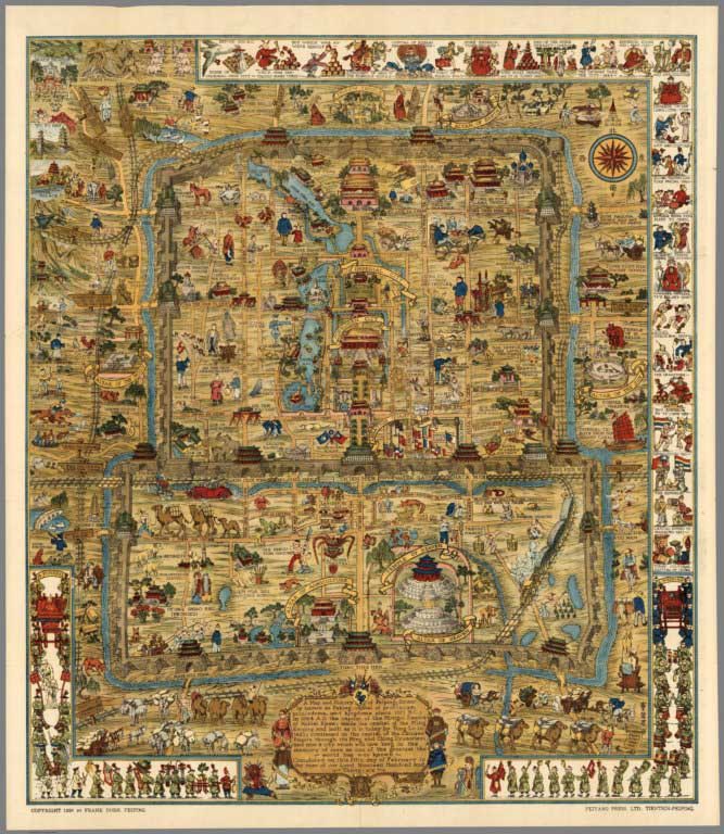 |
A Map and History of Peiping (Beijing). Explanatory Booklet. By Frank Dorn, Peiping. Lithographed and Published by The Peiyang Press, Ltd. Tientsin-Peiping. 1936
Dorn, Frank, Tientsin-Peiping
Col. Frank Dorn (1901-1981), later brigadier general, was an artist, writer and aide to Gen. Joseph Stilwell, the man who during World War II commanded the U.S. and Chinese Nationalist resistance to Japanese incursions into China and Burma. Dorn's map of Peiping is a classic of the pictorial mapping period. Dorn's cartographic style shows the influence of his friend Jo Mora.
View Map
|
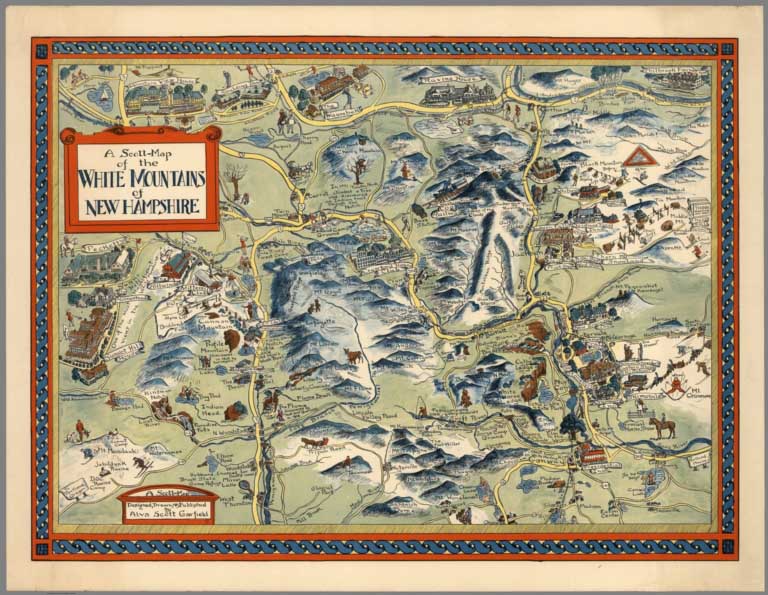 |
Pictorial Maps by Alva Scott Garfield, 1959 to 1960
Garfield, Alva Scott, Madison, New Hampshire
Alva Scott Garfield made pictorial maps in the 1950's and 60's, including maps of New England towns and Harvard University. Historical themes are featured.
View Maps
|
 |
Pictorial Maps by General Drafting, 1932 to 1962
General Drafting Company, Various Places
General Drafting was an active publisher of road maps, primarily for Standard Oil (Esso) and thrived in the period (1930's to 1950's) when these maps were given free to gas station customers. Pictorial mapping themes were incorporated into many of their maps.
View Maps
|
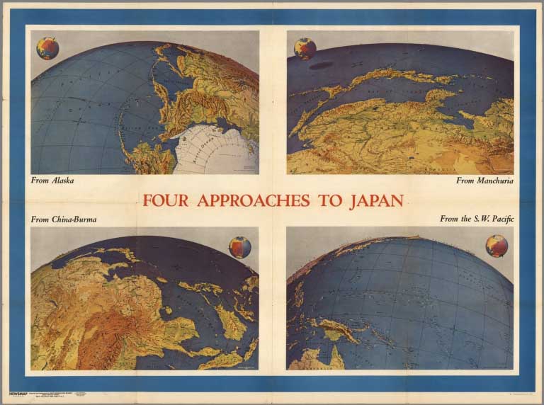 |
Pictorial Maps by Richard Edes Harrison, 1937 to 1947
Harrison, Richard Edes, Various Places
Richard Edes Harrison produced a unique style map view of the world for the "air age." These maps are precursors of our ubiquitous satellite maps of today, yet hand drawn with great cartographic skill. His work was published frequently by Fortune Magazine.
View Maps
|
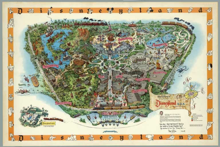 |
Disneyland Pictorial Maps by Sam McKim and others, 1958 to 2005
McKim, Sam;Other Authors, Various Places
These 14 maps of Disneyland show the evolution of mapping the theme park from 1958 to 2005. Many of the early maps were created by Sam McKim and are signed by him.
View Maps
|
 |
Paul M. Paine Pictorial Maps, 1926 to 1939
Paine, Paul M., Various Places
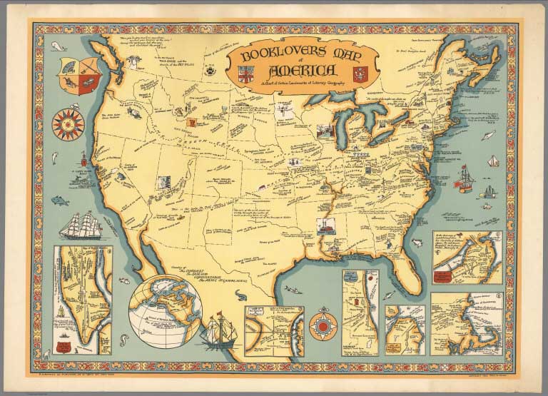
Paul M. Paine was a librarian who created several maps showing the history of authors and their books, as well as maps with historical themes. In his Booklover's Map of America he highlights the locations of many principal works of American literature. Novels that take place over multiple locations, such as Grapes of Wrath are indicated with a dotted line that maps the itinerary of the story. It also includes the birthplaces and homes of several important writers. Insets around the outside of the map give more information about certain cities with particular literary significance. View Maps
|
 |
Pictorial Maps by Rand McNally, 1931 to 1962
Rand McNally & Company, Chicago
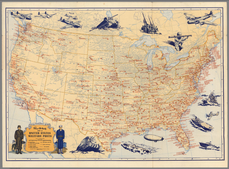
Pictorial road maps, timelines, map catalogs, airline maps, war maps, and others were among the many different types of pictorial maps published by Rand McNally over a 30 year period, both with other cartographers as well as their own creations.
View Maps
|
 |
Pictorial Maps by Tony Sarg, 1933 to 1939
Sarg, Tony, Various Places
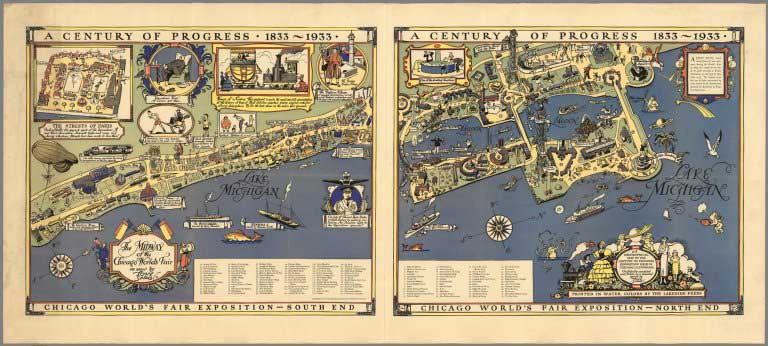
Known as an illustrator and puppeteer (he is considered by some to be the father of modern puppetry in North America), Tony Sarg created several important pictorial maps of towns, world fairs, and regions.
View Maps
|
 |
Elizabeth Shurtleff Pictorial Maps, 1926 to 1930
Shurtleff, Elizabeth, Various Places
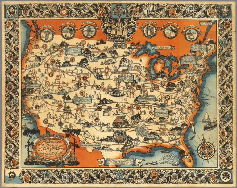
Shurtleff created a group of pictorial maps in a very distinct style. Heavily illustrated maps and borders typically highlighted the history of the map location with colorful illustrations of places, people and events from colonial days, both on the map and in the decorative border.
View Maps
|
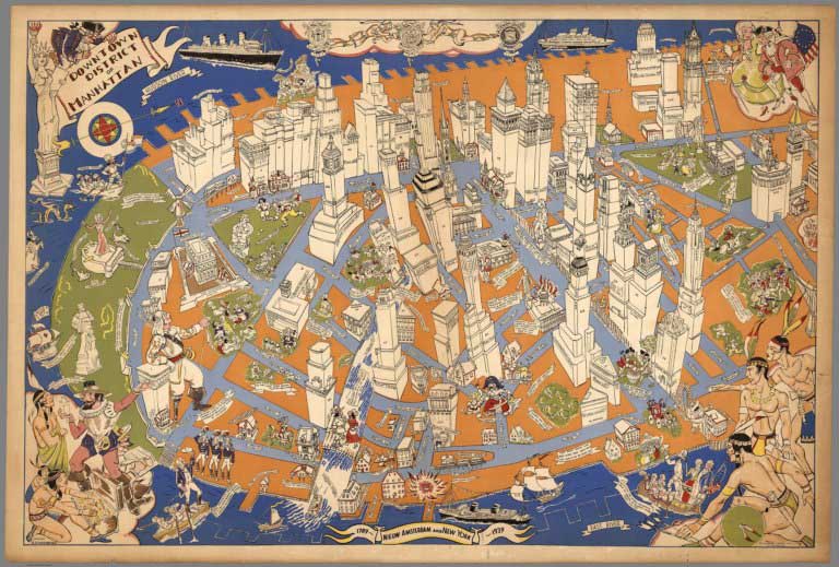 |
Downtown District of Manhattan, 1938
Zaidenberg, Arthur, New York
Arthur Zaidenberg, 1908 - 1990, was a noted artist who probably created this view of New York for the 1939 World's Fair. Zaidenberg was best known for his book, "Anyone Can Draw," and he published dozens of other "how to draw" books. He taught art at New York University, and created many murals for hotels. This pictorial map is his only know map production, and it is exceptional.
View Map
|
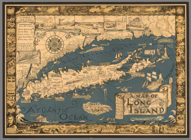 |
Pictorial Maps by Courtland Smith, 1933 to 1961
Smith, Courtland, New York
Courtland Smith made a distinctive map of Long Island in 1933 which was republished in 1961. It is one of the most ubiquitous pictorial maps so we assume it was printed in large quantities.
View Maps
|
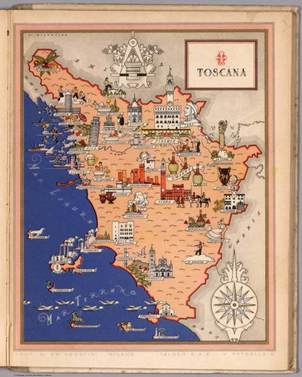 |
Italia Viva del Prof. G. De Agostini ... Atlante Artistico In XXI Quadri a Colori, 1938
De Agostini, Giovani; Nicouline, Vsevolod Petrovic, Milano
This is a travel guide with many colorful pictorial maps. (See also our larger version of these maps, Imago Italiae). Vsevolod Petrovic Nicouline was a renowned Russian painter, print-maker, ceramicist, designer and illustrator born in the Ukraine in 1890. For a time he was with the Imperial Academy of Petersburg. His teaching career there was interrupted by the Bolshevik revolution. He was forced to flee and, after a daring journey, arrived in Constantinople accompanied by the Countess Bossalinie Aida who later became his wife. They survived in this city with menial jobs, and were finally able to join relatives in Genoa in 1920 where he held his first exhibition. In 1922 he moved to Nervi, opening a studio at the first Polish residence, meeting other Russian and Polish exiles. His years were rich in relationships, artists, and writers for whom he designed several books and arranged illustrations, commissions of portraits and more. In 1941 he was inaugurated into the Teatro Carlo Felice and designed sets for La Scala and the Metropolitan New York. He was an important illustrator of more than 100 children's books.
View Guide and Maps
|
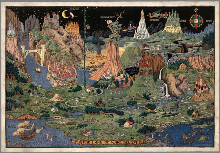 |
Pictorial Maps by Jaro Hess, 1930 and 1953
Hess, Jaro, Various Places
Colorful and wonderfully detailed and imaginative pictorial map. Depicting more than fifty classic fairy tale characters and places that inhabit the same world, each artfully drawn and labeled. Jaro Hess was perhaps the most original artist of fantasy maps working in the United States from the 1930s through the 1960’s.
View Maps
|
 |
Pictorial Maps by the Mentholatum Company, 1936 to 1939
The Mentholatum Company; Aitchison, Robert T., Various Places
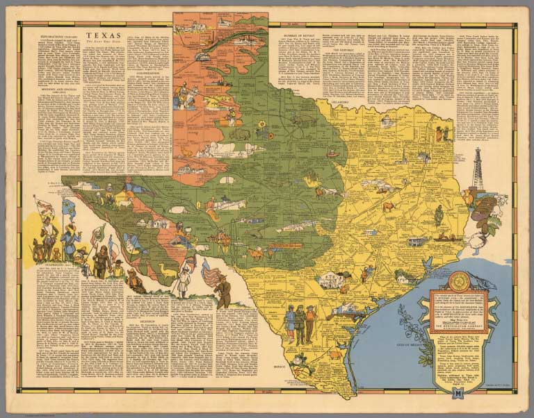
Mentholatum produced a group of U.S. state maps that showed historical events on the maps and added descriptive text to further describe important events. The company used these maps as promotions for its products. Robert T. Aitchison drew the maps.
View Maps
|
 |
Wonder Map of Melbourne, 1934
John Power Studios, Melbourne
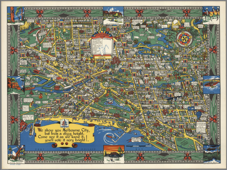
Celebrates the Centenary Year of Melbourne, Australia - 1934. Densely illustrated birdseye view of Melbourne in bright colors. Many quips with cute illustrations. Border of eucalyptus leaves and pods.
View Map
|
 |
Pictorial Maps by Alfred Taylor, 1930 to 1933
Taylor, Alfred, Various Places
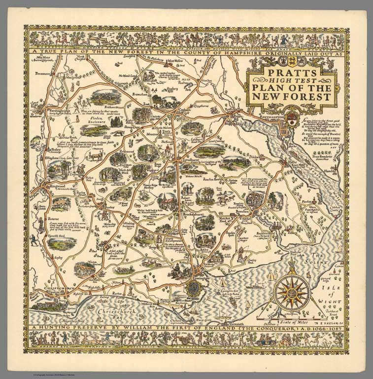
Taylor's maps of Great Britain were published separately and in book form as Pictorial Britain. All the maps seem to have been sponsored in some manner by the Anglo American Oil Company, either through its Pratt's or Esso brands.
View Maps
|
 |
Pictorial Maps by Albert Richard Co., 1938 to 1940
Albert Richard Co., Cheeseman, E.E., Milwaukee, WI.
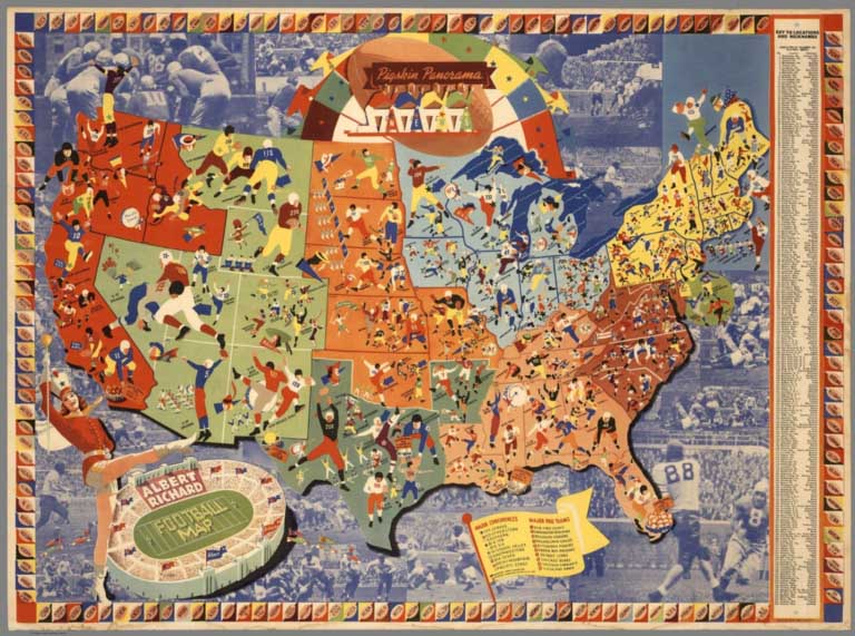
The Albert Richard sportswear apparel company sponsored a series of football maps by E.E. Cheeseman that remain a valuable historical look at the state of the sport in the late 1930's. They also made a map titled Patriotic Panorama of the United States during World War II.
View Maps
|
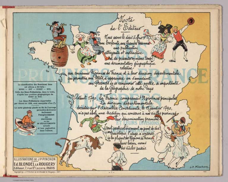 |
Les provinces de France Illustrees et leurs divisions departmentales. Illustrations de J.P. Pinchon. Ed. Blondel la Rougery. Editeur, 7 Rue St. Lazare, Paris. Deuxieme edition. 1929
Pinchon, Joseph-Porphyre, Paris
2nd. edition, pictorial atlas of the provinces of France, with 48 geographical and pictorial maps in color in 48 pages, with Pinchon signature on on each sheet. Each geographical map is accompanied by another pictorial map with vignettes depicting major attractions, trades, or historical events associated with a particular town, city, or region. The vignettes and the more notable features of each province are also described in descriptive text. View Atlas
|
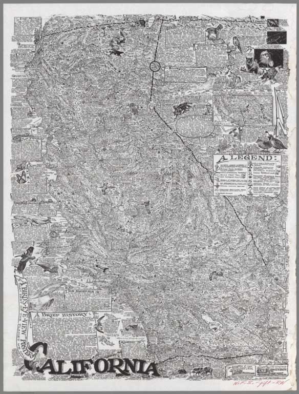 |
Pictorial Maps by Robert Waldmire, 1981 - 2001
Waldmire, Robert, Rochester (Illinois)
Robert Waldmire created dense, unique maps in his own hand drawn style. Each map includes very detailed texts and vignettes about mining, wildlife, labor controversies, sports, businesses, landmarks, history, and more.
View Maps
|
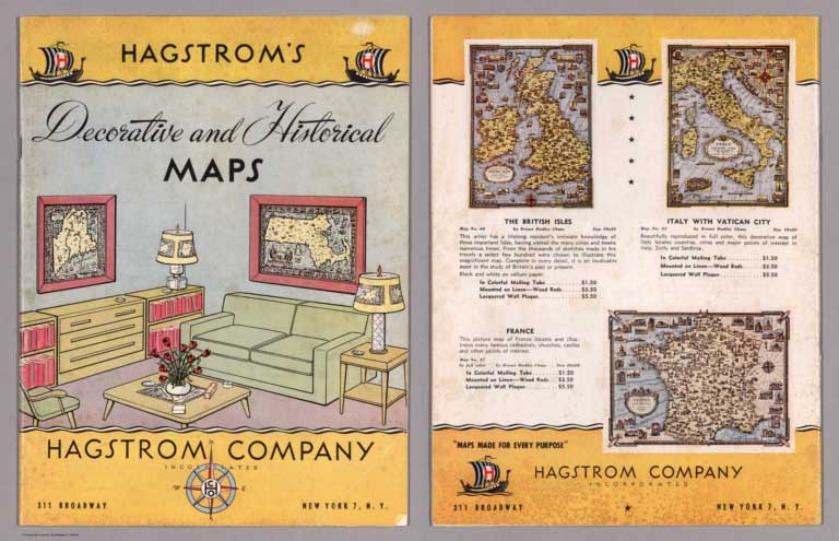 |
Pictorial Map Catalogs and Articles, 1925 - 1977
Various Authors, Various Places
A group of original pictorial map catalogs and articles that are very useful in understanding the publishing history of pictorial maps in the period of 1920 to 1960. These catalogs give an excellent context for the sale and creation of pictorial maps during the period of their great popularity. Most of these items are from the Collection of James Utley MD and were lent to us for scanning.
View Catalogs and Articles
|


