Floodbase is using space data to improve flood insurance
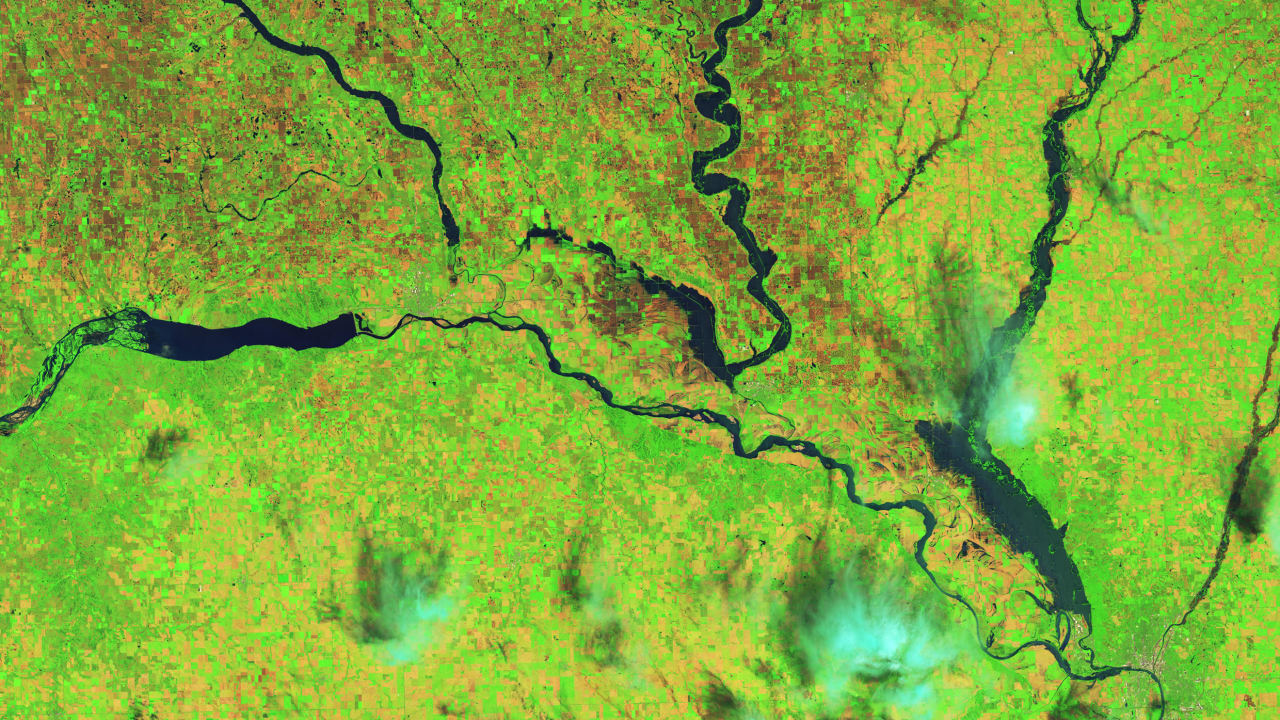
The company aggregates imagery from up to 15 satellites in orbit, including high-res imagery from Planet and radar from Capella Space, which can detect water levels through cloud cover.
Amid climate change and rising waters, Floodbase is seeking to use space data to streamline the flood insurance process, reducing the load for insurers and getting money into people’s hands for damages more quickly.